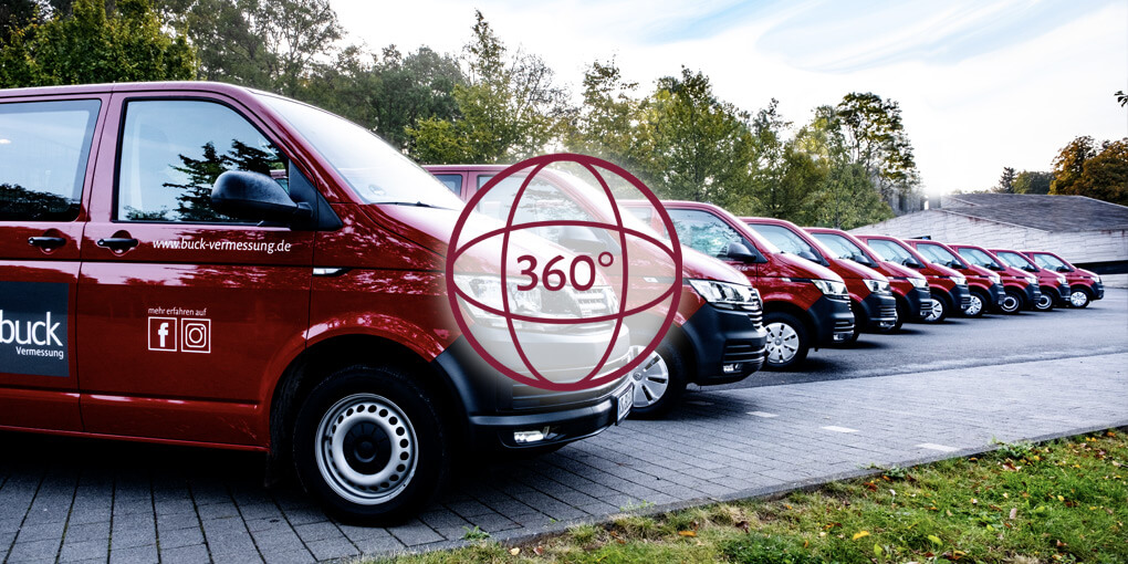
Today, surveying means high-tech of the highest caliber. At least at Buck Surveying. With TEN PERMANENT SURVEYING TEAMS and a further team available as needed, we are on site to record and capture data to the thousandth of a millimeter.
All of our surveying teams are equipped with LEICA ROBOTIC MEASUREMENT STATIONS, LEICA GPS SMARTROVERS and LEICA DIGITAL LEVELS with automatic data recording. Leica Robotic Measurement Stations and GPS SmartRovers ensure an effective and time-efficient workflow. These Leica satellite-supported surveying devices are among the most modern, accurate, fast-working devices on the market with outstanding data reliability. The future is happening now!
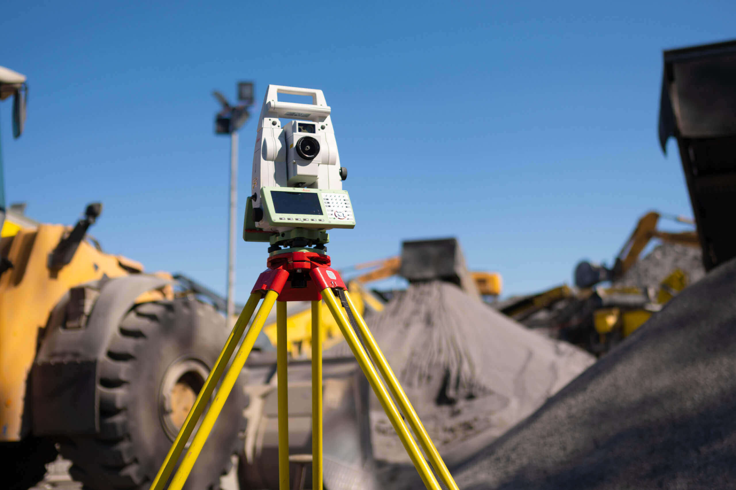
This precision measurement instrument for construction surveying measures horizontal directions, vertical angles and slant distances to the target point. From these three values, all other results can be calculated with the help of a built-in computer. The tachymeter is must-have equipment at a construction site.
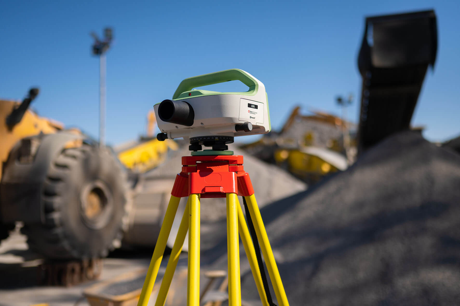
Levelled with the target axis, the DIGITAL LEVEL defines a horizontal plane, and thus measures differences in height. The reading is taken on a leveling staff with bar code. Photos are used to compare this with a stored image until everything is in agreement.

The Global Positioning System, known generally as GPS, is not only used in car navigation systems and on smartphones, but also by us for surveying. Since the accuracy of a GPS device is not sufficient for professional surveying, geodesy uses two GPS receivers simultaneously at different locations.
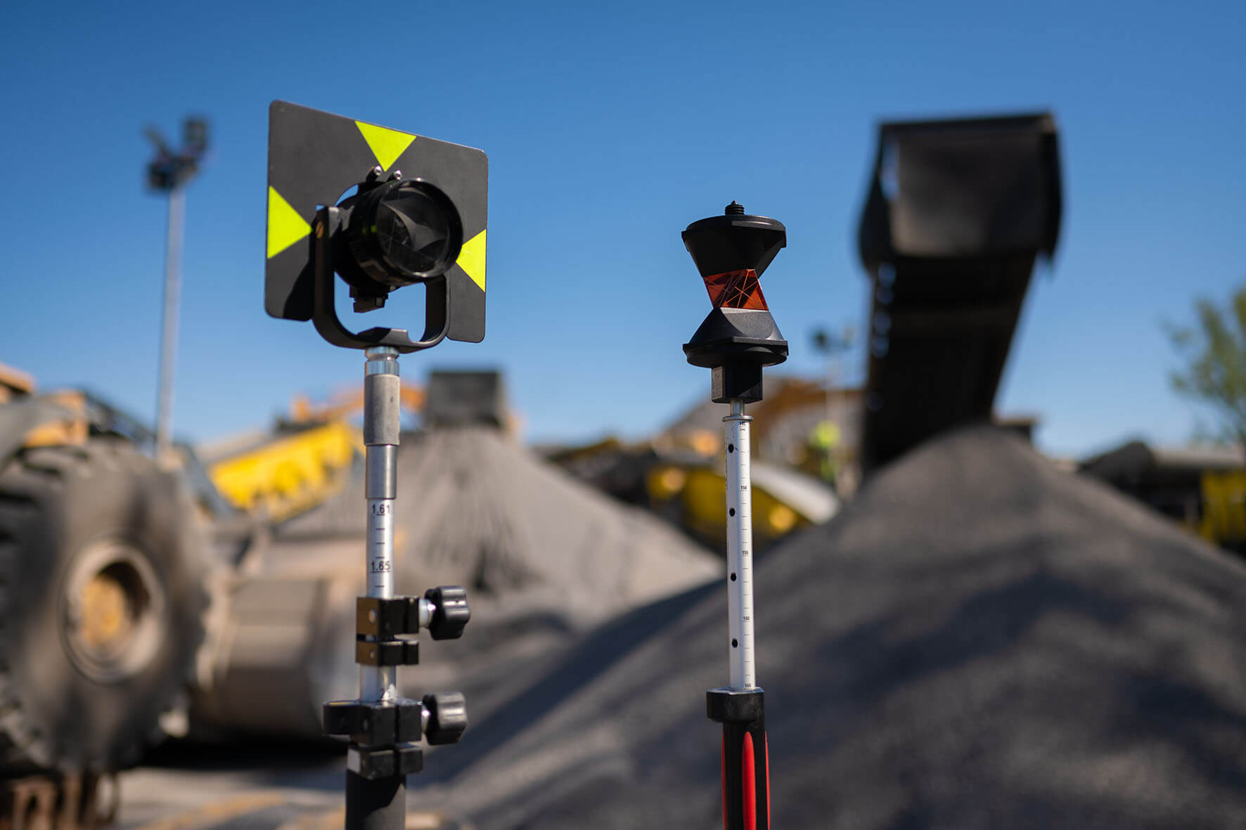
In an electronic distance measurement, a signal is generated which must be reflected back to the receiver This is the function of the REFLECTOR. High-precision circular reflectors, omnidirectional 360° reflectors and also small target markers are used for this purpose.
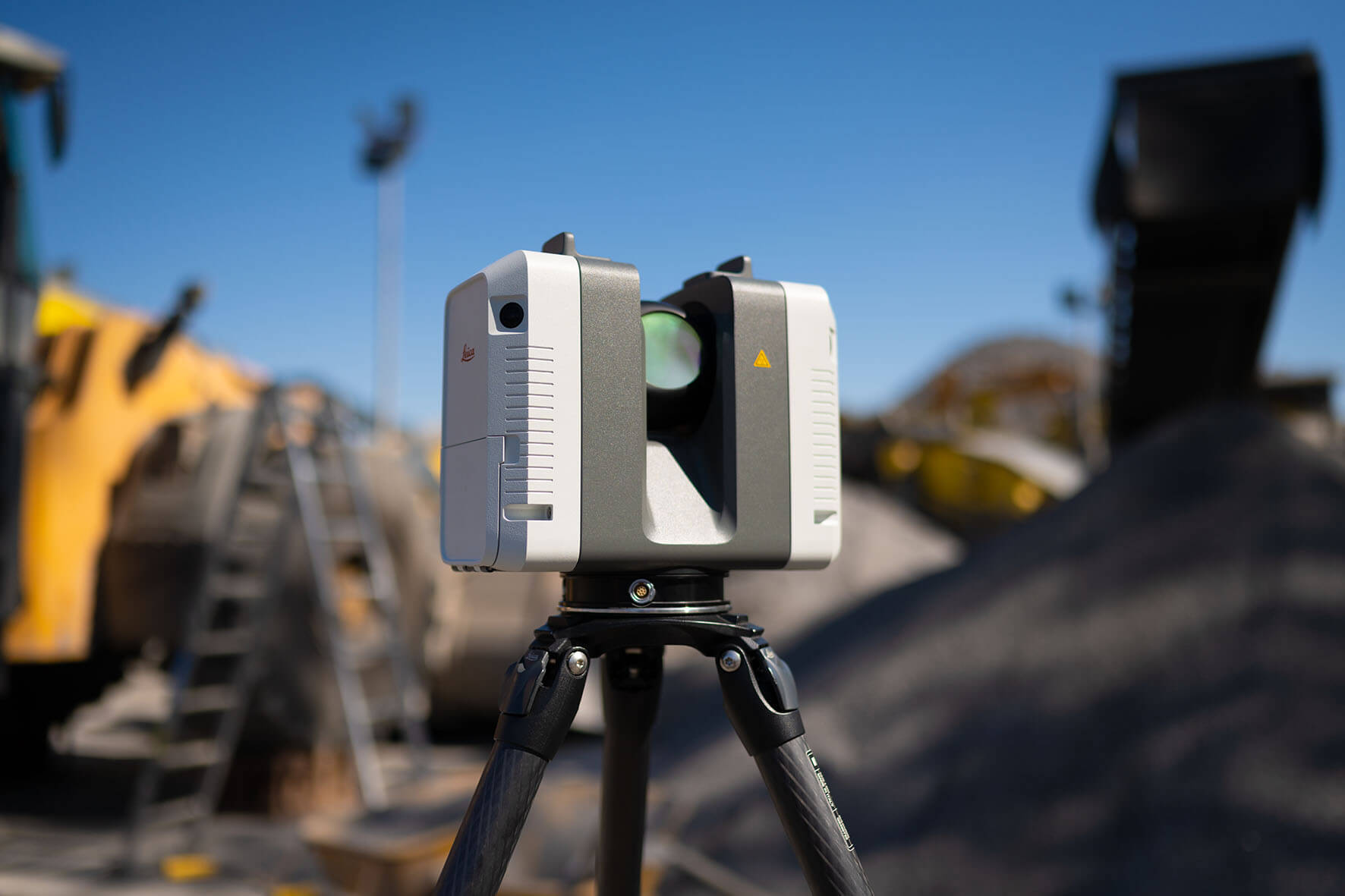
For architectural and facade measurements we make use of the world’s most modern laser scanners. The new Leica RTC 360 has a measurement rate of up to 2 million points per second and can create a color 3D point cloud within 2 minutes. At the same time, it is very light and can be easily brought almost anywhere. This makes it possible to measure all types of facades precisely and in exact detail and to do so economically.
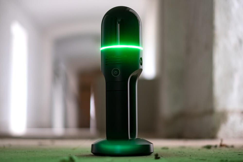
For as-built documentation of buildings with many small spaces, we use a mobile LASERSCANNER. The new LEICA BLK2GO has a measuring rate of up to 420,000 points per second and can precisely determine its movement through the space thanks to the SLAM algorithm. No tripod is required and thus measurements can be taken under or over objects. Even dark areas or corners do not present a problem.
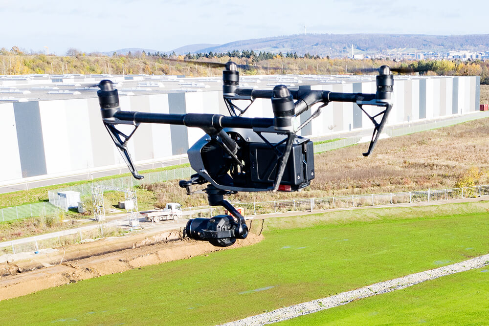
With the help of our surveying drones (UAS = Unmanned Aerial System) we can produce high resolution aerial images. From these aerial images, it is possible to render a 3D point cloud, a digital 3D terrain model, orthophotos or visualizations using professional photogrammetry software.
Virtual tour of our measurement bus
Are you curious to know what our measurement buses really look like – also from the inside?
We invite you to take a virtual tour of our drone and laser scanning bus. We think you’ll enjoy it!
